ForestSAT unites global forestry experts in Rotorua

A global forestry event attracted experts from NASA and remote sensing specialists from nearly 30 countries to Rotorua in September.
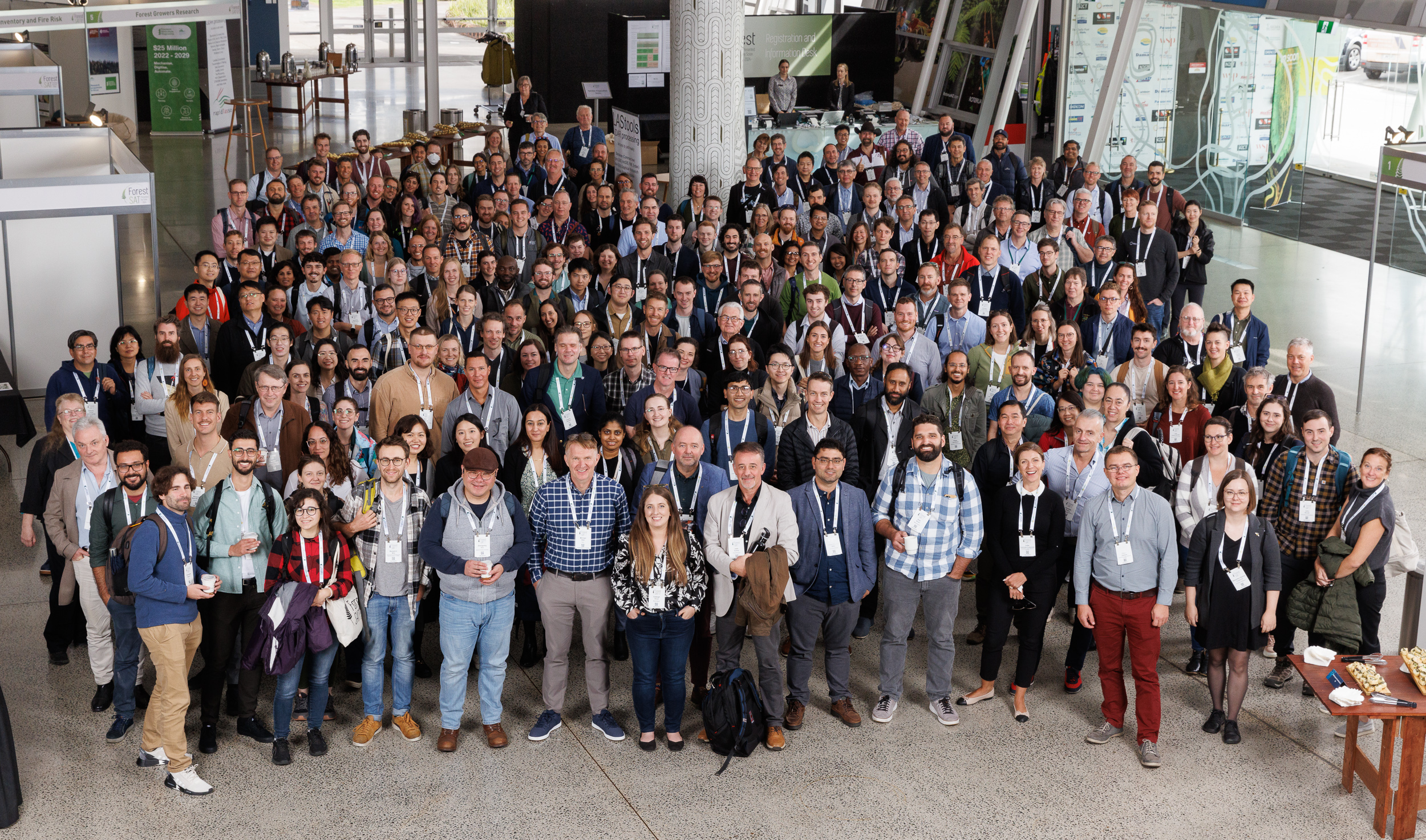
Crown Research Institute Scion hosted ForestSAT 2024, the most prestigious international conference on the application of remote sensing technologies for forest monitoring and modelling. The 10th edition, held in Australasia for the first time, united more than 300 specialists over five days.
Scion’s general manager for Forests to Timber Products, Dr Henri Bailleres, says the conference was a chance for forestry practitioners to hear the latest research, and for scientists to share their knowledge and learn from each other.
“The diverse representation underscores the conference’s global appeal and its role as a critical platform for addressing international forest monitoring challenges using advanced remote sensing and geospatial technologies.”
Dr Bailleres adds the presence of experts from NASA provided a unique opportunity for New Zealand-based users of remote sensing tools and technology to engage with world-leading agencies.

At the official opening of the conference, Rotorua Mayor Tania Tapsell said it was exciting to see the industry come together, and she thanked Scion for its contributions to Rotorua which she described as the centre of excellence in forestry and wood processing.
Tapsell reiterated the importance of networking and encouraged delegates to use the time to explore positive opportunities.
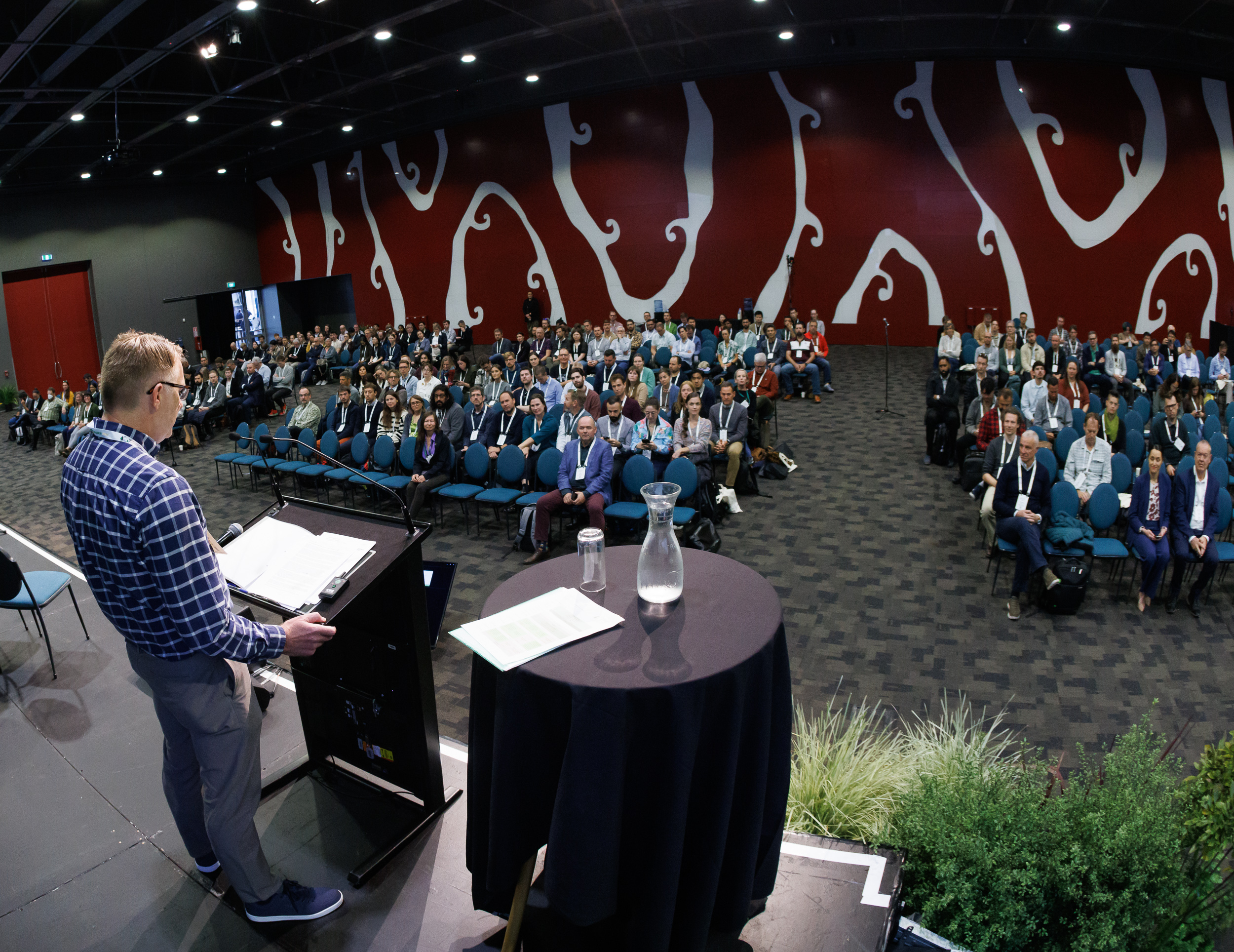
In his opening address conference chair Dr Michael Watt, a principal scientist at Scion, also encouraged attendees to network to grow together as a community, and to collaborate with others to push the boundaries of what is possible in forestry remote sensing.
The conference included 44 general and special sessions, around 220 presentations and 37 posters covering topics ranging from groundbreaking missions to emerging areas.
“The diversity of the special sessions showcases the breadth of innovation and critical challenges we are addressing in our field,” Michael said.

The conference featured two keynote speakers, including Dr Crystal Schaaf, a Professor Emeritus and Research Professor in the School for the Environment at the University of Massachusetts Boston. Crystal has been involved in two NASA satellite missions for more than 25 years. The second keynote was Pablo J. Zarco-Tejada, a Professor in Remote Sensing in the faculties of Science and Engineering, University of Melbourne.
Data analyst Melanie Palmer was among 10 Scion staff who delivered presentations, with many more who faciliated sessions, attended workshops and contributed to the overall success of the international conference.
Melanie updated attendees on the progress of Forest Insights, a prototype for a new interactive tool that provides the forestry industry with powerful inventory information.
Developed by Scion in collaboration with Indufor Asia Pacific, Forest Insights leverages deep learning and high-resolution imagery to identify and map forests. This precision is crucial for understanding the composition of New Zealand’s forests, including small-scale forests.
The AI model can accurately differentiate between various tree species, including Radiata pine, Douglas-fir and eucalypt, making it a powerful tool for forest managers seeking to monitor specific species across regions.
Forest Insights started last year by mapping forests in the East Coast and Bay of Plenty. The prototype is on track to have the North Island fully mapped soon, with parts of Northland, Auckland and Wellington the only regional areas outstanding.
With radiata pine less prevalent in the South Island, the next phase will focus on expanding the dataset to include other exotic species, ensuring forest monitoring across the entire country. The integration of LIDAR will provide even more detail, allowing for more comprehensive canopy insights.
In a wildfire-focused research session, Dr Laura Kiely from Scion’s Fire and Atmospheric Sciences team, provided an overview of wildfires in New Zealand. She highlighted the importance of smart firefighting, using data and models to predict and suppress fires sooner. The New Zealand Wildfire Risk Map research project underway at Scion aims to create a spatial map of wildfire risk, incorporating ignition probability and fire spread models.
The team’s goal is to run 500,000 model simulations to develop a better understanding of wildfire risk that covers all of New Zealand. Once developed, it will be useful for landowners, environmental managers, Fire and Emergency New Zealand and councils.
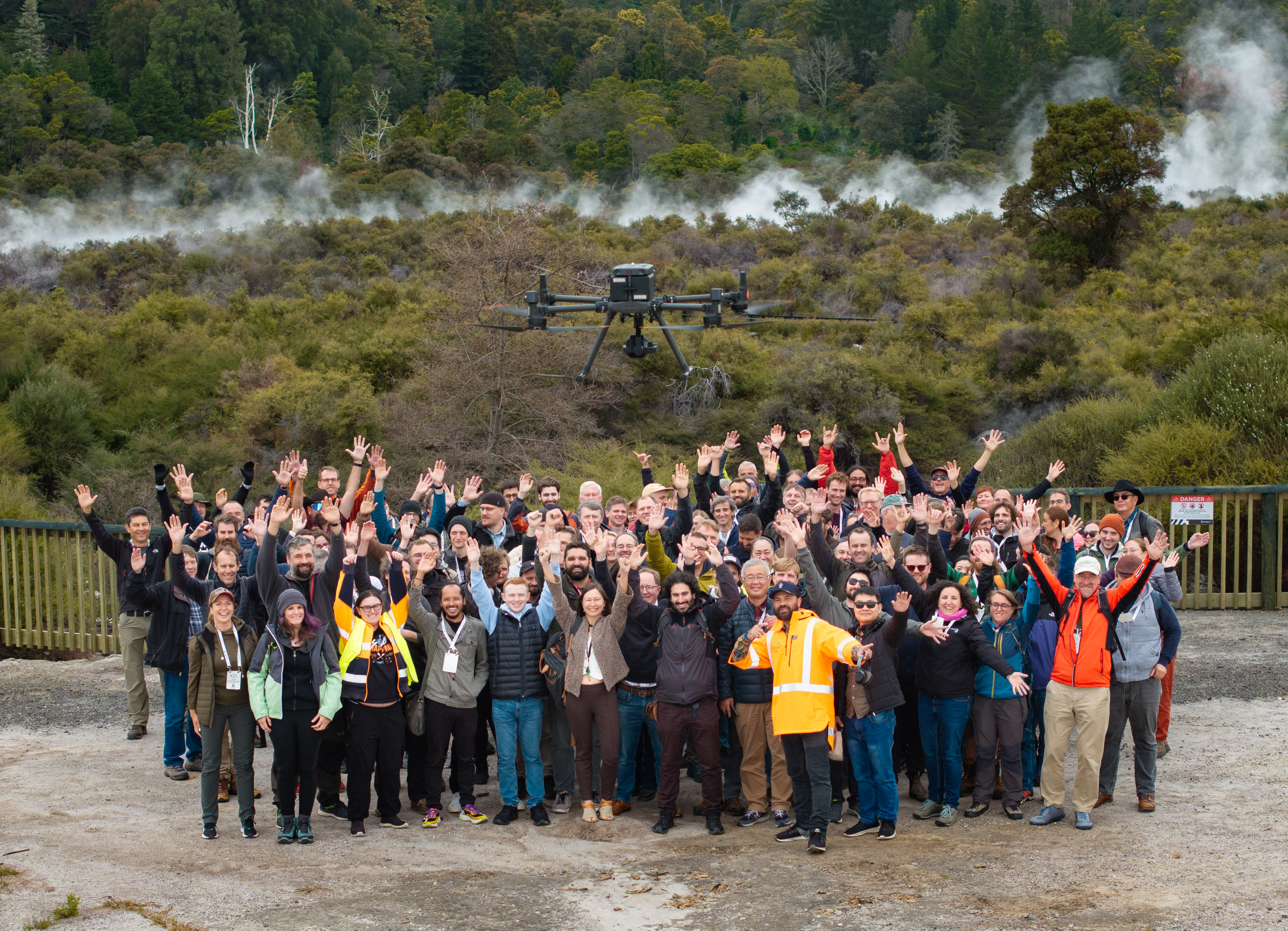
During a field trip conference participants also got to see technology in action with demonstrations of how organisations, such as Interpine Innovation, are using backpack-mounted LIDAR scanners to capture data and create 3D duplicate views of forests.
