Pakuratahi land use study
Located in the coastal hill country of Hawke’s Bay, north of Napier, research into pastoral and forest catchments began over 20 years ago. This has provided a wealth of data and a new, long term catchment study is just getting started.
We are now approaching the end of the second rotation at the catchment and the value of reestablishing the monitoring programme was identified as valuable. In this unique opportunity ahead of the third rotation, we are proposing to investigate multiple land uses in this catchment to address some of the big environmental challenges around extreme weather events and forest and farm management.
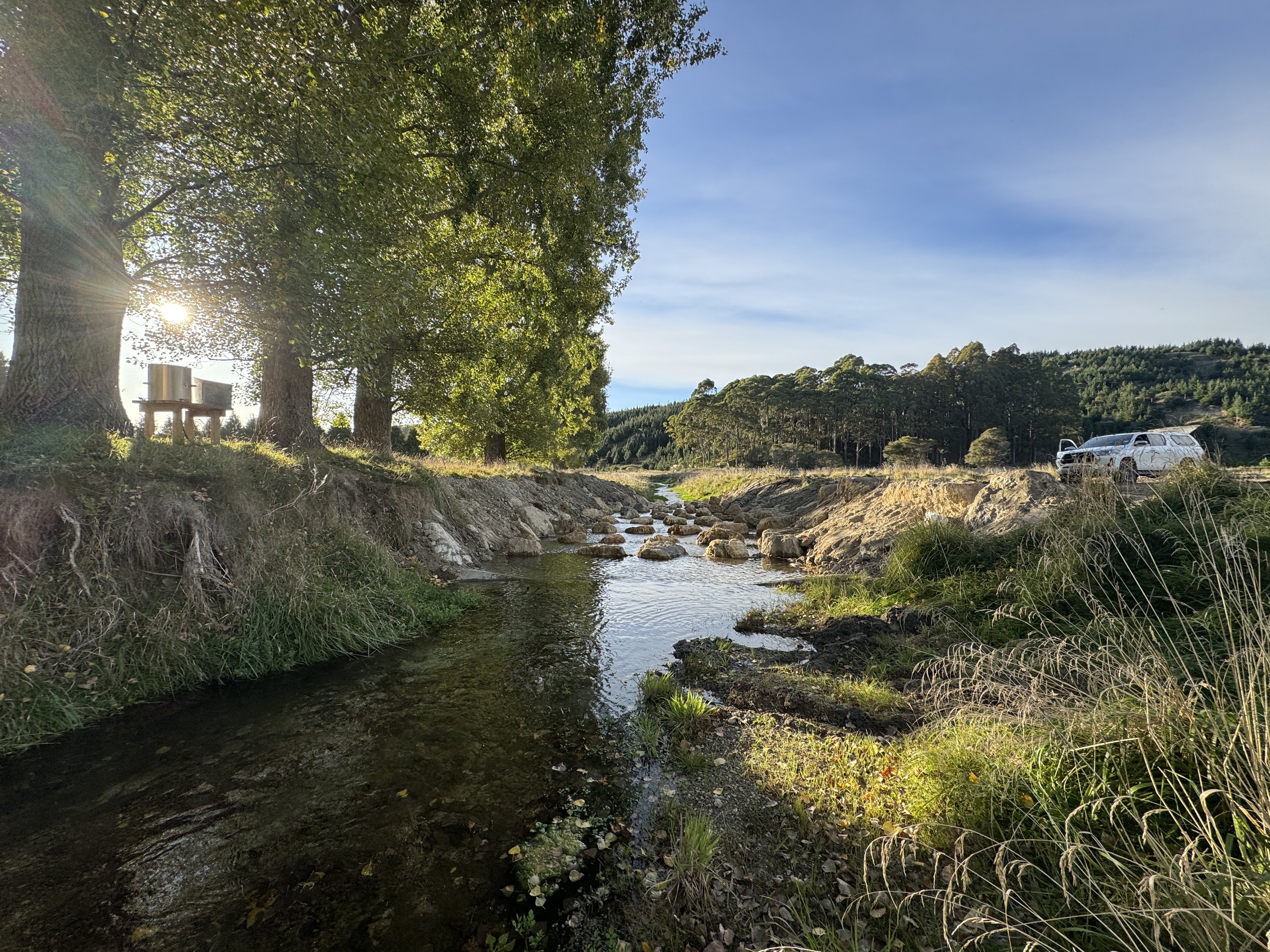
In 2024, the Pakuratahi Land Use Study took a significant step forward with the installation of monitoring equipment. Read all about this progress, our goals for 2025 and what is included in the Pakuratahi Land Use Study 15-year plan.
History of the Pakuratahi and Tamingimingi experimental basin
Pakuratahi and Tamingimingi experimental catchments are two adjacent catchments where the initial paired catchment research was established during Pakuratahi's first forestry rotation.
The original Land Use Study investigated the environmental impacts of forestry and compared this to an adjoining pastoral catchment from pre harvest of the first rotation to canopy closure of the second rotation plantings. It is a unique longitudinal study in New Zealand and provided very significant information for forest managers and regulators.
Read more about the background and a summary of the study below.
Approach to the long-term study
The overall objective of the Pakuratahi Land Use Study V2 is to explore how changed management practises and the availability of a raft of new technologies affects the environmental impact of forestry. This will feed into new knowledge into improved forest management practises.
Outcomes
Understanding of the environmental effects of current harvesting approaches and new technologies will lead to improved management approaches and regulations under an increasingly high-risk climatic environment.
15-year plan
The goal is to improve forestry practices in an era of increasing climate risks. This plan includes:
- Data collection and catchment monitoring
- Analysis and data management
- Education and knowledge sharing
- Clear governance and communication strategies
A rolling three-year operational plan will be updated annually to remain flexible and responsive to new research opportunities.
Collaborators
Pakuratahi Land Use Study is a collaboration between five organisations:
- Forest Owners Association
- Forest Growers Levy Trust
- Hawke's Bay Regional Council
- Pan Pac Forest Products
- Red Axe Forest Intelligence
- NZ Farm Forestry Association
- Hawke's Bay Forestry Group
- Maungaharuru Tangitu Trust
- Ministry for the Environment
- Ministry for Primary Industries
- Scion
Contact
Project Lead
James Powrie - Red Axe Forestry Intelligence
Science Lead
Tim Payn - Scion Principal Scientist